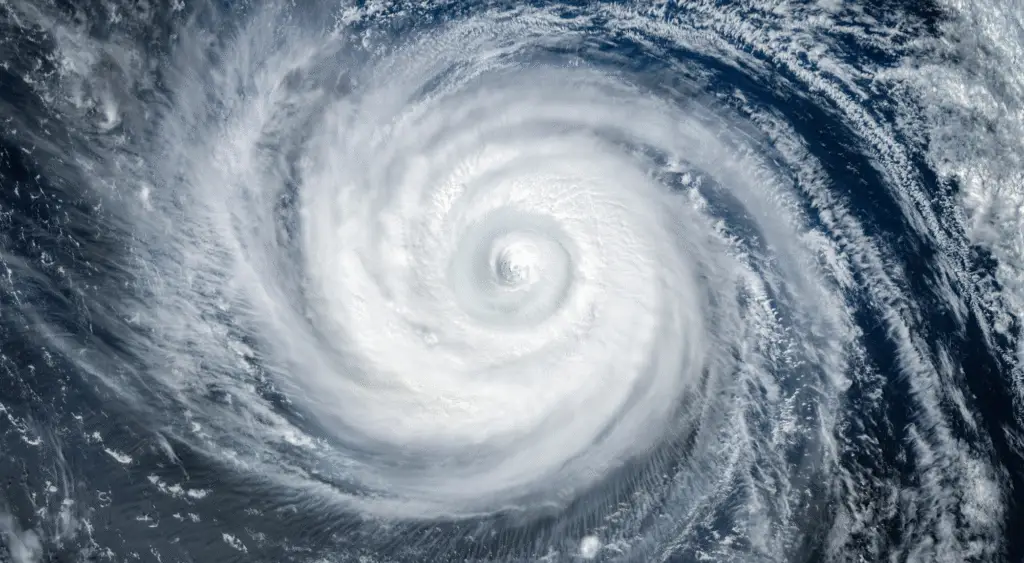

The Atlantic Hurricane Season Is About to Get Real
The Atlantic Hurricane Season Is About to Get Real
After a deceptively quiet start, the 2025 Atlantic hurricane season is gearing up for a major shift. A powerful marine heat wave is settling over large stretches of the western Atlantic and Gulf of Mexico—turning up the heat just as we approach the season’s peak.
Heat in the Waters
A persistent marine heat wave—marked by extended periods of unusually warm sea surface temperatures—has taken hold in the western Atlantic and Gulf. These record-hot waters are prime fuel for stronger, wetter storms, similar to last year’s Hurricane Helene and Milton.
In the Gulf, sea surface temperatures are running about 2 °F above normal, with coastal Florida waters hitting a toasty 90 °F. The Florida Keys recently recorded a staggering 99 °F on the surface—raising serious red flags for storm development.
A Slow Start, But Heating Up
The season began on the slow side, with only Tropical Storms Andrea, Barry, and Chantal making appearances—much quieter than the hyperactive 2024. But that lull is ending:
Tropical Storm Dexter formed on August 4, though it remains a distant concern.
The National Hurricane Center is watching two other areas—one off the U.S. East Coast and another in the eastern tropical Atlantic—with moderate chances (30–60%) of development.
Why Now? The Perfect Storm Conditions
Forecasters highlight several key factors coming together:
Marine heat wave: Warm waters supercharge storm intensity and moisture.
Atmospheric patterns: The Madden-Julian Oscillation may boost activity after mid-August, especially over Africa.
Seasonal timing: The historic Atlantic peak, around early to mid-September, is fast approaching.
NOAA’s forecast calls for an above-average season: 13 to 19 named storms, 6 to 10 hurricanes, and 3 to 5 major hurricanes—mostly fueled by these warmer-than-normal waters.
What’s Next & What to Watch
Historically, about 80% of hurricanes form between early August and mid-October. With tropical ocean temperatures running hot and atmospheric conditions aligning, the most intense part of the season is still ahead.
Residents along the U.S. East Coast, Gulf of Mexico, and Caribbean should stay alert, keep tabs on updates from trusted sources like the National Hurricane Center, and prepare for a potentially active and impactful few months.
Bottom line: After a slow start, the Atlantic hurricane season is waking up—powered by a marine heat wave that’s raising the risk of stronger, wetter storms just as the season hits its stride.