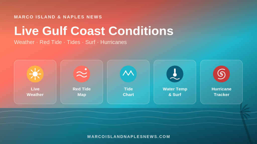
Tropical Outlook: Atlantic, Caribbean & Gulf
Quiet Start to the Week, But Peak Hurricane Season Draws Closer
Forecast Period: Monday, July 27 – Sunday, August 2, 2026
The Atlantic Basin is expected to remain relatively quiet through the upcoming week, offering welcome news for Florida residents, boaters, and travelers. According to the latest guidance from the National Hurricane Center (NHC), there are no tropical cyclones currently active across the Atlantic, Caribbean Sea, or Gulf, and no significant areas of tropical development are anticipated over the next seven days. (National Hurricane Center)
Although the forecast remains calm, forecasters continue to monitor the tropical Atlantic as the climatological peak of hurricane season approaches in late August and September.
🌀 Atlantic Ocean
Conditions across much of the tropical Atlantic remain unfavorable for tropical cyclone formation due to pockets of dry air, Saharan dust, and moderate wind shear.
Several tropical waves will continue moving westward from Africa toward the Caribbean during the week, but none currently show signs of organizing into tropical depressions.
Development Risk (Next 7 Days):
🌴 Caribbean Sea
The Caribbean will continue to experience the typical summertime pattern of scattered showers and thunderstorms driven by tropical moisture.
At this time:
No tropical disturbances are expected to organize.
Fresh easterly trade winds will continue.
Localized heavy downpours remain possible each afternoon, especially near Cuba, Hispaniola, Jamaica, and Central America.
Residents across the islands should expect brief tropical downpours but no organized storm threat this week. (National Hurricane Center)
🌊 Gulf of Mexico
After Tropical Storm Bertha affected portions of the northern Gulf Coast last week, the Gulf has become significantly quieter.
Current forecast guidance shows:
No tropical lows expected.
Warm water remains in place but upper-level winds are limiting development.
Typical afternoon thunderstorms will continue along the Gulf Coast, including Florida.
For Southwest Florida—including Marco Island and Naples—the primary weather concern remains scattered afternoon storms rather than tropical development. (Reuters)
🌦️ Florida Outlook
South Florida can expect a typical late-July weather pattern featuring:
🌤️ Warm, humid mornings
⛈️ Afternoon thunderstorms
🌡️ High temperatures in the upper 80s to lower 90s (31–34°C)
🌊 Light to moderate onshore winds
🚤 Generally favorable boating conditions outside thunderstorms
No tropical impacts are expected for Florida through next weekend.
📅 7-Day Tropical Risk
| Region | Tropical Development Risk |
|---|
| Gulf of Mexico | 🟢 Very Low |
| Caribbean Sea | 🟢 Very Low |
| Western Atlantic | 🟢 Very Low |
| Central Atlantic | 🟢 Very Low |
| Eastern Atlantic | 🟢 Very Low |
Hurricane Season Reminder
Even though the Atlantic Basin is quiet now, hurricane season is entering the period when activity typically begins increasing.
Historically:
📈 Activity increases during August.
🌀 The climatological peak occurs around September 10.
Florida often sees its greatest tropical threats between August and October.
Emergency managers encourage residents to review hurricane plans, check emergency supplies, and stay informed throughout the season, even during quiet stretches.
Bottom Line
The upcoming week brings encouraging news across the Atlantic Basin. No tropical cyclones are expected to develop through Sunday, August 2, and no direct threats are forecast for Florida, the Caribbean, or the Gulf Coast. While scattered thunderstorms will remain common, particularly across South Florida, the tropics are expected to stay unusually quiet as the calendar turns toward the more active months of hurricane season. Forecasters will continue monitoring tropical waves emerging from Africa, but for now, there are no immediate signs of concern. (National Hurricane Center)